


The world’s leading mapping and advanced data analysis platform, developed by Esri.
CONTACT US
or call 0919-019-964
What is ArcGIS?
The world’s leading platform for mapping and in-depth data analysis. ArcGIS provides specialized tools for mapping and spatial analysis of objects.
Highlighted Products
of ArcGIS
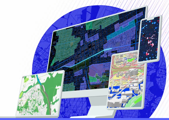
Esri provides leading mapping and spatial analysis software for personal computers, Software as a Service (SaaS), and enterprise applications. Esri’s products are designed to deliver location intelligence and support digital transformation needs for organizations of all sizes. Below are three featured ArcGIS products:

ArcGIS Online
A complete cloud-based mapping platform.

ArcGIS Pro
The next-generation GIS application with Esri’s advanced technology for personal computers.

ArcGIS Enterprise
A powerful platform that allows you to collect, analyze, and share geospatial data.
Strengths of the
ArcGIS Platform
Spatial Analysis
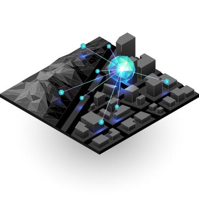
Spatial analysis is the heart and soul of the ArcGIS platform. It helps you determine the optimal location for your business, plan urban developments, or support critical decision-making in emergency situations.
Imagery & Remote Sensing
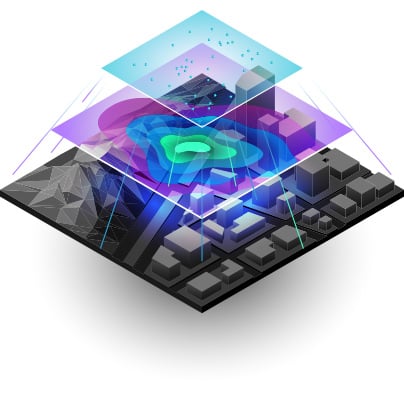
ArcGIS provides a platform to manage and extract valuable insights from imagery and remote sensing data. It includes image processing tools and workflows for visualization, analysis, and easy access to an image data repository.
Mapping & Visualization
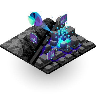
Maps help you discover valuable spatial insights to make better decisions and take appropriate actions. ArcGIS also allows you to create, use, and share maps across all devices and platforms.

Real-Time GIS Data
Real-time GIS data allows you to monitor location and information from any type of sensor or device. It enables rapid response, ensures asset safety, and enhances tracking capabilities for active resources.
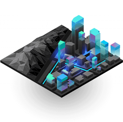
3D GIS
3D GIS brings the real world into digital storage and provides a visual representation on maps. Creating and visualizing 3D data helps you analyze and solve problems more efficiently.
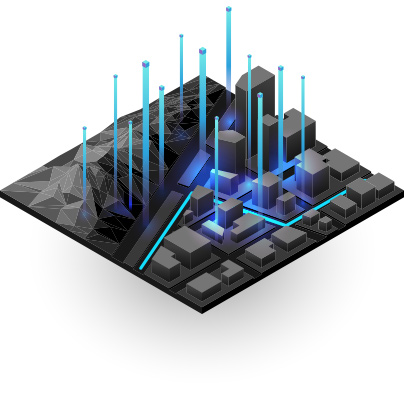
Data Collection & Management
With ArcGIS, you can easily collect, manage, store, access, and share data efficiently and securely. You can integrate data from other enterprise storage systems into your GIS platform.
Connect with OneCAD Vietnam
Experts
How Businesses Are Leveraging
the Power of ArcGIS?
Many leading organizations worldwide are using ArcGIS to tackle complex operational challenges. From resource management and infrastructure optimization to service improvement, ArcGIS helps them work more efficiently and make more accurate decisions. Discover how ArcGIS is being applied across various industries to deliver benefits and address today’s challenges.
Vodafone
Montana
Vienna
Marriott
Vodafone

Vodafone – Managing Assets and Mobile Networks
With a drive for innovation, Vodafone engineers created a digital twin of the UK’s mobile network using ArcGIS technology. They found that this solution not only enabled virtual visits to cell towers but also improved planning and operational efficiency. Vodafone now plans to roll out ArcGIS-based digital twins across 12 other markets in Europe.
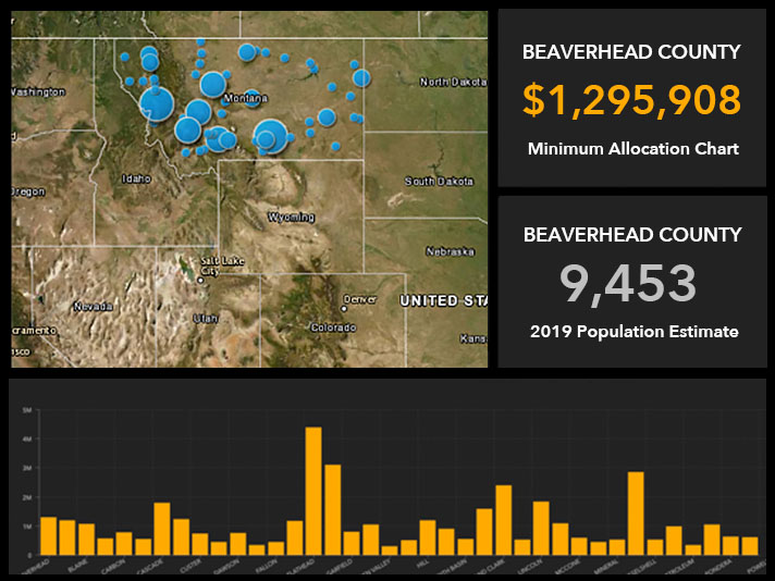
State of Montana Ensures Fair Fund Distribution
With $900 million from the American Rescue Plan Act to allocate strategically, Montana’s Department of Natural Resources and Conservation used ArcGIS. Maps and dashboards enhanced transparency in fund distribution, showcasing selected projects across the state. This ensured fair allocation of funds and simplified the complex grant application process for applicants.
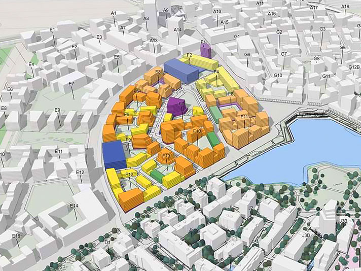
Urban Planning and Development – Vienna Designs a City Within a City
One of Europe’s largest urban development projects, Vienna is transforming an abandoned airport into Aspern Seestadt—one of the continent’s most dynamic planned urban communities and a testbed for smart city initiatives. As Aspern Seestadt takes shape, ArcGIS has become an essential integration tool for planners and architects, offering a shared virtual space for managing project-related data. Maps and dashboards facilitate collaboration between public and private partners. A 3D geographic digital twin measures progress and explores future scenarios to enhance sustainability.
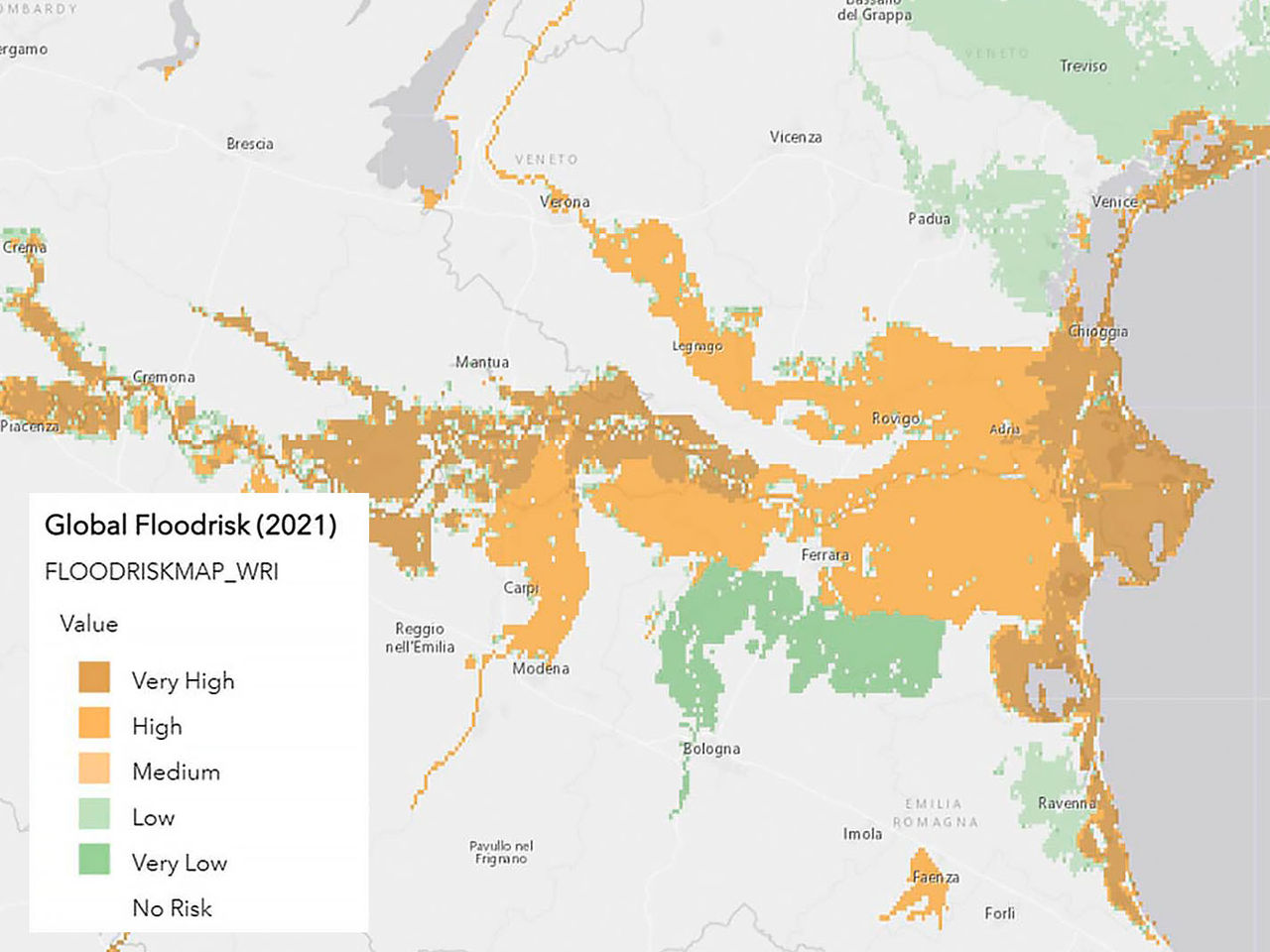
Risk Analysis and Mitigation – Marriott Builds a Risk Map for Safe Travel
Marriott International, a hotel brand operating in 139 countries with nearly 8,700 properties, relies on a comprehensive risk assessment tool called Risk Atlas to ensure guest safety. Built with ArcGIS technology, Risk Atlas analyzes data from various sources, including news reports, social media, and weather information, to assess risk levels at different locations. The map format facilitates data sharing across the enterprise, from real estate teams to security managers. Reliable alerts enable Marriott to make informed decisions to protect guests and assets, ensuring business continuity.
Enjoy the Best Offers at OneCAD Vietnam – Strategic Partner of Autodesk in Vietnam