


AutoCAD® Civil 3D® supports BIM (Building Information Modeling) to enhance the efficiency of civil engineering design and construction materials.
CONTACT US
or call 0919-019-964
Why use
AUTODESK CIVIL 3D?
Autodesk Civil 3D empowers engineers to tackle complex infrastructure challenges by
designing and building within a real-world 3D model context. This software helps accelerate
design workflows, automate drawings, and enhance collaboration
among teams and stakeholders.

Enhance Design Efficiency
Improve Design Quality with dynamic 3D object-based modeling and 2D drawings generated directly from the model.

Streamlined Collaboration
Minimize errors and rework by seamlessly exchanging data across multidisciplinary teams while maintaining design standards and accuracy.
Interactive design tools
Easily share data and models across software using the IFC format, ensuring compatibility and flexibility in your workflow.
Enjoy the best deals at
OneCAD Vietnam, Autodesk’s strategic partner in Vietnam.
What are the capabilities
of Autodesk Civil 3D?
Streamline your design and documentation workflows
Deliver design and construction documentation for transportation projects, including roads, highways, site development, rail, and bridges. Reduce overall design time with faster modeling of surfaces, terrain, corridors,…
Enhance your workflows with integrated GIS and cloud collaboration
Integrate GIS data into your designs to ensure sustainability and client satisfaction. Securely view and share data in the cloud to improve collaboration across all project stakeholders.
Enhance project coordination
Seamlessly exchange data between multidisciplinary teams while maintaining standards and accuracy to reduce rework and improve client satisfaction.
Civil 3D Extensions
AutoCAD® Civil 3D® provides BIM tools for transportation and civil engineers. It reduces design time, analysis, and the need for revisions.
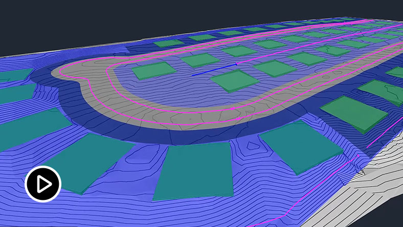
Grading Optimization for Civil 3D
Use Grading Optimization to automatically optimize time-consuming grading tasks, quickly generate multiple scenarios to find the best solution, and bring the solution back into Civil 3D for detailed design.
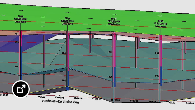
Geotechnical Modeler
Visualize and analyze geotechnical data efficiently, then easily incorporate that data directly into your design model.
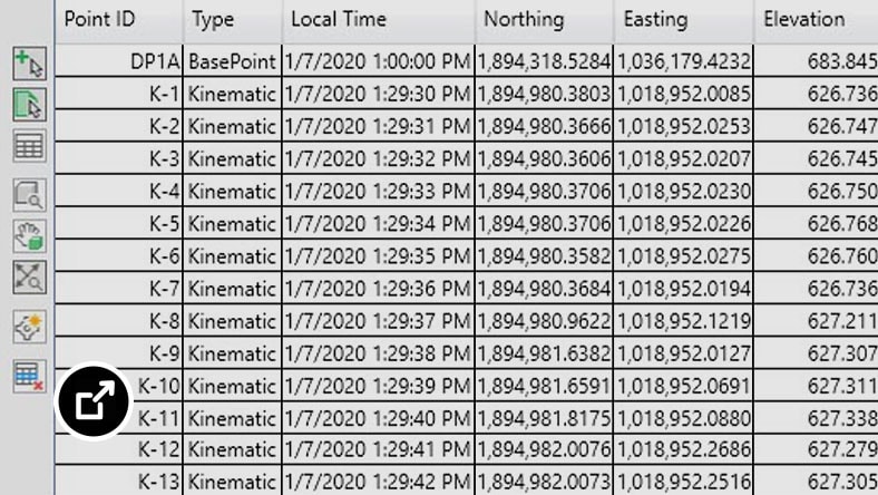
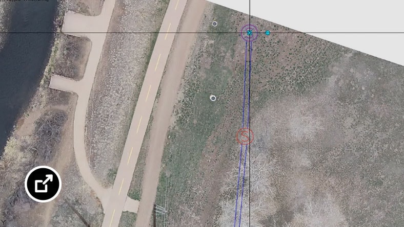 Connector for ArcGIS
Bring Geographic Information System (GIS) data from ArcGIS into your Civil 3D drawing, save edits, publish, and export Civil 3D data for use in ArcGIS.
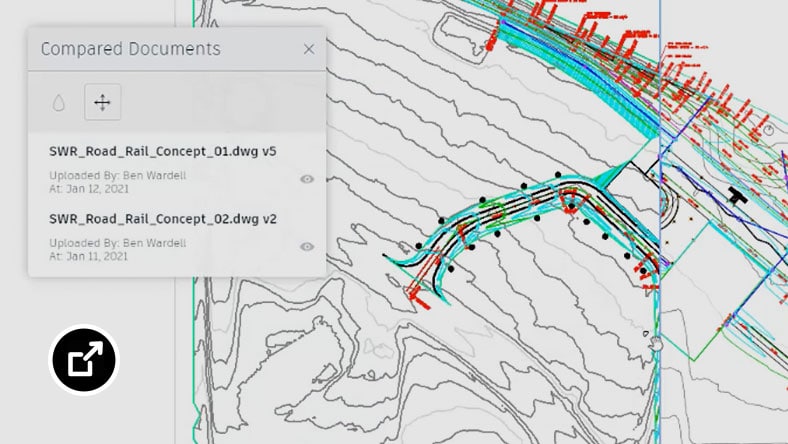 Collaboration for Civil 3D
Collaborate on projects using Civil 3D anytime, anywhere. Keep teams aligned and visualize the impact of design changes clearly.
and many more features await you to explore…
AutoCAD® Civil 3D®
AutoCAD Civil 3D provides powerful tools to optimize detailed design and drafting, reducing costs and project timelines while enhancing project quality. Civil 3D is also a robust BIM tool for transportation, civil infrastructure, rail, bridges, and more, enabling contractors, owners, and project management teams to apply BIM throughout the project execution phase.

SOLUTIONS THAT SAVE UP TO 30%
Using the Architecture, Engineering & Construction Collection (AEC Collection) is a cost – effective and high-performance solution – ideal if you require at least one of the following toolsets:
Civil 3D + Revit
Civil 3D + Navisworks
Civil 3D + Infraworks
Civil 3D + AutoCAD